GNSS Positioning
17– 19 OCTOBER 2023
A global navigation satellite system (GNSS) is a network of satellites broadcasting timing and orbital information used for navigation and positioning measurements. With growing dependency on accurate positioning, navigation and timing in every service that is available today, from military, civil to commercial applications, systems, including running the global economy, all of these rely strongly on GNSS signals.
A global navigation satellite system (GNSS) is a network of satellites broadcasting timing and orbital information used for navigation and positioning measurements. With growing dependency on accurate positioning, navigation and timing in every service that is available today, from military, civil to commercial applications, systems, including running the global economy, all of these rely strongly on GNSS signals.
Due to its wide range of usage, GNSS is now available in the market for very cheap, thus are vulnerable to spoofing, manipulating, and jamming the satellite signals, which has the potential to turn out into a catastrophic event, bringing the entire world's order to a standstill. To understand the vulnerabilities, and how a nation can strengthen them, the session will discuss this at length.
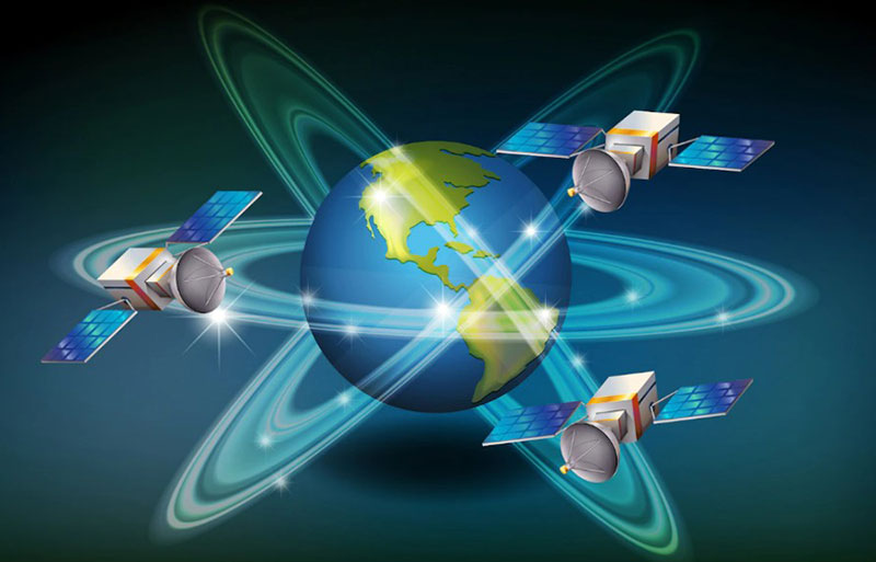
GeoSmart India 2023 shall host a session on GNSS Positioning, the growing threats of GNSS spoofing and jamming, and how alternate technologies are needed to be developed to protect nation’s safety and security concerns. Navic's expansion in Indo-Pacific region as reliable satcom option is likely to open doors for collaboration and partnership opportunities within the region.