DOWNLOAD report Brochure
 

Land and Property

Theme: Modernization of Land Administration & It’s Socio Economic Impact

18-19 OCTOBER 2023
#drivethechange | #landeconomy | #geosmartindia

AGENDA

1000 – 1045 hrs.

Opening Session: Modernization of land administration and its impact on national development
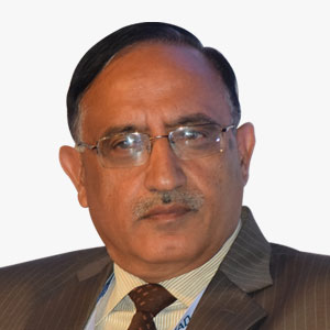
Lt Gen Girish Kumar VSM (Retd)

Lt Gen Girish Kumar VSM (Retd)

Advisor
Government of Haryana, and Ministry of External Affairs and Former Surveyor General of India

Guest Address

Deepti Dutt

Deepti Dutt

Head - Strategic Initiatives - Public Sector
AWS

Industry Keynote Address

Topic: Geospatial for National Development
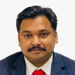
Dr Piyush Singla, IAS

Dr Piyush Singla, IAS

Secretary to Government
Revenue Department, Jammu & Kashmir

Keynote Address

Topic: Geospatial Enabled Government Initiatives Impacting Land Economy and National Development

1045 – 1145 hrs.

Session 1: Geospatial - Enabled Government Initiatives Impacting Land Economy and National Development

Lt Gen Girish Kumar VSM (Retd)

Lt Gen Girish Kumar VSM (Retd)

Advisor
Government of Haryana, and Ministry of External Affairs and Former Surveyor General of India

Chair
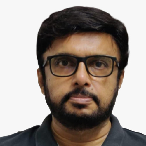
P.V. Rajasekhar

P.V. Rajasekhar

Additional Surveyor General, Eastern Zone
Survey of India

Topic: Gsi23 Land Administrative Session
Shantanu P. Gotmare,  IAS

Shantanu P. Gotmare, IAS

Director
Land Records and Surveys, Government of Assam

Topic: Impact of Geospatial Enabled Government Initiatives
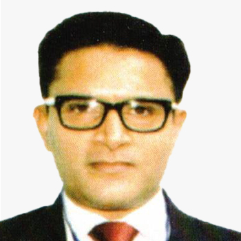
Chander Prakash Verma, IAS

Chander Prakash Verma, IAS

Director, Directorate of Land Records
Government of Himachal Pradesh

Topic: Modernization of Land Administration and Its Socio-economic Impact in Himachal Pradesh
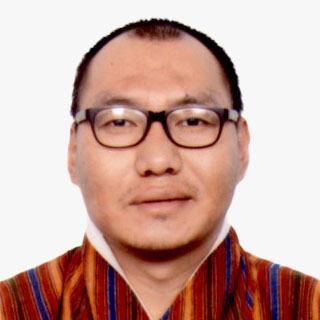
Chokila

Chokila

Superintendent Survey Engineer
Department of Survey and Mapping, National Land Commission

1145 – 1230 hrs.

Visit to Exhibition | Tea/Coffee Break

1230 – 1330 hrs.

Lunch

1330 – 1500 hrs.

Session 2: Evolving Role of Geospatial and Frontier Technologies in Enabling Sustainable Land Administration
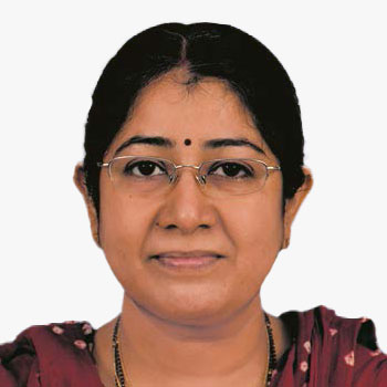
Jaya Saxena

Jaya Saxena

Scientist 'F' & Head
NRSC (ISRO), Hyderabad

Moderator
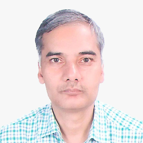
Dr Upendra Nath Mishra

Dr Upendra Nath Mishra

Additional Surveyor General
Survey of India

Keynote Address

Topic: Evolving Role of Geospatial and Frontier Technologies in Enabling Sustainable Land Administration
Sameer Deshkar

Sameer Deshkar

Associate Professor
Visvesvaraya National Institute of Technology

Topic: Leveraging Geospatial Technologies for Sustainable Rural Land Use Planning & Development

N.V. Kumar

N.V. Kumar

Associate Vice President
IIC Technologies Private Limited

Topic: High resolution aerial photography for effective Land & Property Management a case study on Andhra Pradesh Land Records Saswatha Bhu Hakku Bhu Raksha Scheme.

Chirag Sharma

Chirag Sharma

CEO
Drone Destination Ltd

Topic: Role of Drones & Geo-Spatial technologies in realising SDG 15
Abhas Supakar

Abhas Supakar

Sr. Vice President, Technology
SPARC India

Topic: Forest land
Amit Saxena

Amit Saxena

Regional Sales Manager (India & SAARC)- Geospatial
Trimble Inc.

Topic: Role of Geospatial Technologies in Enabling Sustainable Land Administration

1500 – 1530 hrs.

Visit to Exhibition | Tea/Coffee Break

1530 – 1700 hrs.

Session 3: Transition From Data to Knowledge Applications for Land Administration
Dr K. Sreenivas

Dr K. Sreenivas

Dy. Director
National Remote Sensing Centre

Keynote & Chair

Topic: Transition From Data to Knowledge Applications for Land Administration

Dr Aswani Kumar Munnangi

Dr Aswani Kumar Munnangi

Senior Manager (GIS)
National Institute for Smart Government

Topic: India's Digital Land Revolution: Empowering Citizens

Dwaipayan Dighal

Dwaipayan Dighal

Senior Zonal Manager
Esri India

Topic: Transition From Data to Knowledge Applications for Land Administration D.dighal , Esri India
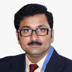
Partha Pratim Ghosh

Partha Pratim Ghosh

Presales Head, APJ
Planet

Topic: Satellite Vision: Revolutionizing Land Use Intelligence for India's Urban and Natural Systems

Brahmam Gorugantu

Brahmam Gorugantu

Lead Strategy & Operations
NeoGeoinfo Technologies Pvt. Ltd

Topic: Transition From Data to Knowledge

Pradeep Pandurangi

Pradeep Pandurangi

Senior Product Manager
ideaForge

Topic: Land & Property

Ezhilan Nanmaran

Ezhilan Nanmaran

Head of Product
ideaForge

1000 – 1130 hrs.

Session 4: Integrated Cadaster and Registry

Amna Tasneem, IAS

Amna Tasneem, IAS

Special Secretary to Govt., Haryana, Revenue and Disaster Management Department
Director, Consolidation of Land Holdings & Land Records, Haryana, Special Officer (HQ) & Special LAO, Haryana

Topic: Large Scale Mapping and Land Revenue Management

Dr D. Sajith Babu, IAS

Dr D. Sajith Babu, IAS

Commissioner
Civil Supplies & Consumer Affairs & Director, ILDM

Topic: Integrated Cadastre and Registry

Dr Raj Kumar Khatri

Dr Raj Kumar Khatri

Former Additional Chief Secretary and Coordinator
Karnataka for The World Bank Project -Inventory of Land Policies and Institutions

Ashish K. Jena, OAS

Ashish K. Jena, OAS

Addl. Director
Revenue Officer's Training Institute (ROTI), Revenue & Disaster Management Department, Odisha

Topic: I N T E G R a T E D C a D a S T R E & R E G I S T R Y

Pooja Chandran

Pooja Chandran

Program Manager
FES

Topic: A Data-Enabled Approach to Govern India's Common Lands

1130 – 1200 hrs.

Visit to Exhibition | Tea/Coffee Break

1200 – 1330 hrs.

Session 5: Collaborations in Land and Property Sector: Existing Challenges and Success Stories

Javed Shaikh

Javed Shaikh

Technical Director
QuantaSIP G.I.S. Pvt Ltd

Topic: Geo-positioned Cadastral and Land Data and Land Records

Mohd Moniruzzaman

Mohd Moniruzzaman

Deputy Director Survey
Department of Land Records and Survey, Bangladesh

Topic: Establishment of Digital Land Management System (Edlms) Through Digital Survey and Settlement Operations of 3 (Three) City Corporations, 1(One) Pouroshava and 2(Two) Rural Upazila of Bangladesh Project (1st Revised)

Vaibhav Gupta

Vaibhav Gupta

Co-Founder
FloData Analytics

Srikanth Reddy Dongala

Srikanth Reddy Dongala

Data Scientist
FloData Analytics

1330 – 1430 hrs.

Lunch

Overview

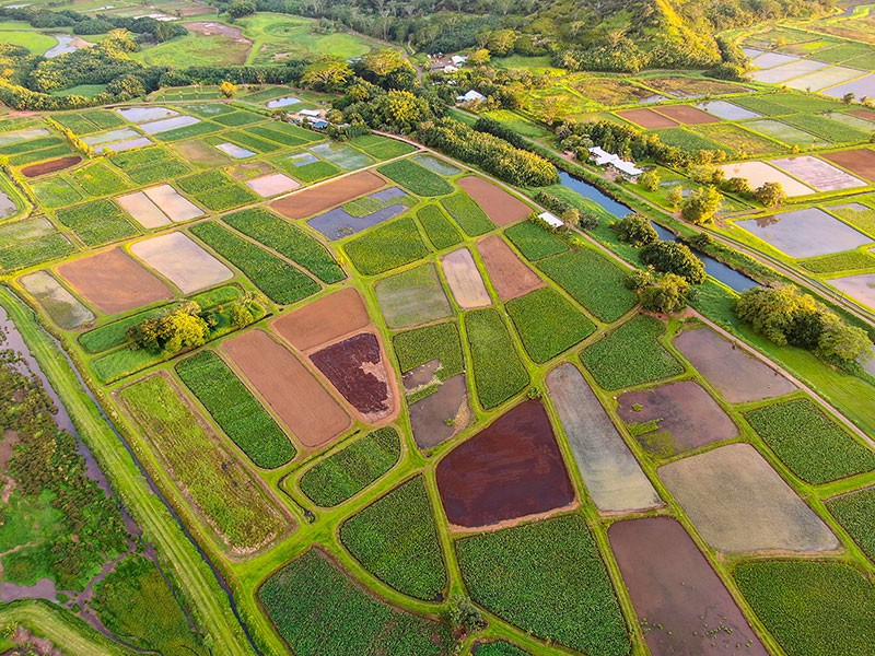
India, now the world’s most populous country with 1.4 billion people, faces the critical issue of limited land per person as an immediate concern. Efficient land administration is the solution, driving economic activities and overall progress. Land and property are central to the economy and society, impacting various aspects of human life and development. Land policies, national schemes, and sustainable practices are vital for harnessing these benefits while ensuring fairness and environmental responsibility. India is implementing central-level schemes like the Digital India Land Records Modernization Programme (DILRMP) and SVAMITVA scheme. These initiatives empower citizens with 'Record of Rights' to their land. Geospatial technology, including Geographic Information Systems (GIS), high-resolution satellite imagery, GPS, drone surveys, and Continuously Operating Reference Stations (CORS), is revolutionizing traditional land administration methods, enhancing efficiency and accuracy.

Target Audience

  • Rural Development & Panchayat Raj Departments
  • Revenue & Disaster Management Departments
  • Survey and Land Records Departments
  • Government Geospatial and Digital Policymakers
  • Government User Organizations
  • Cadastre Agencies
  • Geospatial Industry
  • 4IR Technology Companies
  • Private Users from Key Economic Sectors
  • Multilateral Organizations
  • Consulting Organizations
  • Academia and Research Institutes
  • Civil Society Organizations