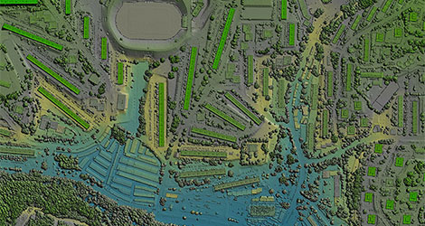
Opening Presentation by Geospatial World: Geospatial Knowledge Infrastructure Supporting National Development
Keynote Address on Geospatial Knowledge Infrastructure and National Development

AS Kiran Kumar
Member
Space Commission
Keynote Presentation on National Geospatial Policy of India

S. K. Sinha
Addl Surveyor General
Survey of India
Session 1: National Geospatial Policy - Enabling Transition Towards a Geospatial Knowledge Infrastructure

Dr Debapriya Dutta
Advisor
DST
Moderator

S. K. Sinha
Addl Surveyor General
Survey of India
Topic: National Geospatial Policy 2022

M. Jayachandran
Program Director
TNGIS, Tamil Nadu e-Governance Agency

Nilay Nishant
Scientist (SE)
Northeastern Space Applications Centre (NESAC), Department of Space

Vijay Kumar
Sr. Vice President & CTO
Esri India
Visit to Exhibition | Tea/Coffee Break
Lunch
Presentation on 'Urban Development Sector of India' by Geospatial World
Session 2: Geospatial Strategy: Urban Development Sector

Rajiv Mishra
Chief Technical Advisor
National Institute of Urban Affairs (NIUA)
Moderator

Mohd Monis Khan
Town & Country Planner
TCPO

P.V. Rajasekhar
Additional Surveyor General, Eastern Zone
Survey of India

Dr Shaily Gandhi
Deputy Centre Head
Centre for Applied Geomatics, CEPT Research and Development Foundation (CRDF)

Milap Punia
Professor and Chairperson
Centre for the Study of Regional Development School of Social Sciences, Jawaharlal Nehru University

Abhyudaya Saxena
Head, GIS and data processing division
Aereo
Visit to Exhibition | Tea/Coffee Break
Session 3: Geospatial Strategy: Rural Development and Land Administration Sector

Dr Namita Wahi
Founding Director of the Land Rights Initiative & Senior Fellow at the Centre for Policy Research
Moderator

Milind Wadodkar
Chief Soil Survey Officer
Soil and Land Use Survey of India

Ashish Kumar Jena
Joint Secretary cum Joint Special Relief Commissioner
Govt of Odisha

Sajeevan G
Senior Director
Centre for Development of Advanced Computing (C-DAC)

Dr Raj Kumar Khatri
Former Additional Chief Secretary and Coordinator
Karnataka for The World Bank Project -Inventory of Land Policies and Institutions
Topic: Modernizing Land Records

Vishnu Chandra
Advisor, MoPR & Former DDG NIC

Dr Stutee Gupta
Scientist (SF)
Rural Development and Watershed Monitoring Division, National remote Sensing Centre


