GEO4SDGs
Theme: Together We Can
Geospatial Media through its Global Development Agenda unit, organizes an exclusive program called Geo4SDGs – a seminar for the development, governance and geospatial communities to discuss and share experiences on using geospatial information for achieving SDGs and creating a World We Want.
Speakers
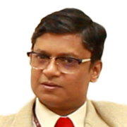
Dr. D Dutta
Head SEED and NRDMS
Department of Science and Technology
Department of Science and Technology
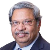
O P Agarwal
Cheif Executive Officer
World Resources Institute India
World Resources Institute India
Moderator
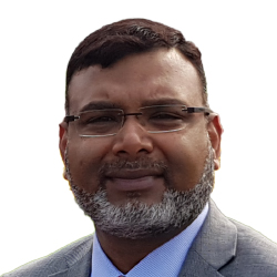
Dr Zaffar Sadiq Mohamed-Ghouse FRGS FSSSI Executive Director - Strategic Consulting & International Relations
Spatial Vision
Australia
Dr Zaffar Sadiq Mohamed-Ghouse FRGS FSSSI Executive Director - Strategic Consulting & International Relations
Spatial Vision
Australia
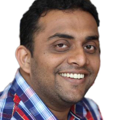
Naveen Francis
Volunteer
Open Street Map
Open Street Map
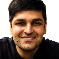
Kshitij Batra
Co-Founder & CEO
Terra Economics and Analytics Lab
Terra Economics and Analytics Lab
Dr. T Ravisankar
Group Director - LRUMG
National Remote Sensing Centre
National Remote Sensing Centre
Seema Joshi
General Manager - Strategic Presales
Esri
Esri
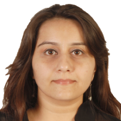
Charu Chadha
Policy Programs Manager, India and South Asia
Facebook
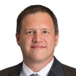
Moderator
Aaron Addison Founder
Kullu Consulting
Aaron Addison Founder
Kullu Consulting
Dr Suhel Quader
Scientist
Nature Conservation Foundation
Nature Conservation Foundation
Dr BalaKrishna Pisupati
Conservation and Development Specialist
FLEDGE
FLEDGE

Prof. Robin Vijayan
IISER, Tirupati
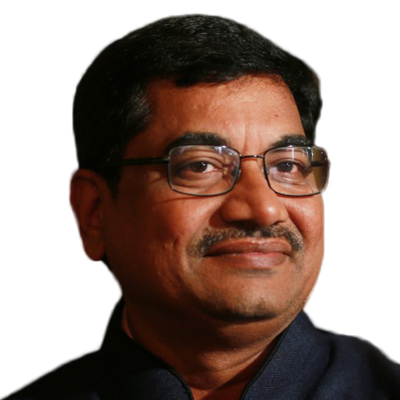
Dr. G Chandrashekar Reddy
Chief Conservator of Forests, WLM
Government of Telangana
Government of Telangana
Moderator
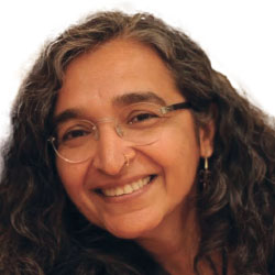
Anju Pandey Programme Specialist
Ending Violence Against Women
UN Women
Anju Pandey Programme Specialist
Ending Violence Against Women
UN Women
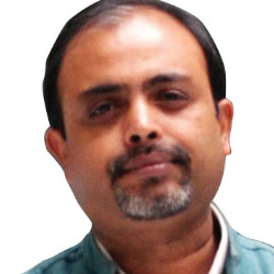
Pranab Ranjan Choudhary
Vice President
NRMC
NRMC
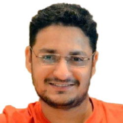
Yogesh Karyakarte
Senior Project Officer
BAIF
Pune
BAIF
Pune
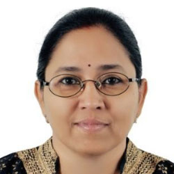
P. Nagasayee Malathy
Executive Director - Programs
Kailash Satyarthi Children's Foundation
Kailash Satyarthi Children's Foundation
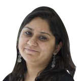
Ruchika Singh
Director - Sustainable Landscapes and Restoration
WRI India
WRI India
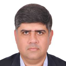
Lt Col Monish Ahuja (Retd)
Managing Director
Punjab Renewable Energy Systems Private Limited (PRESPL)
Punjab Renewable Energy Systems Private Limited (PRESPL)
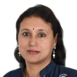
Moderator
Shikha Srivastava Head - Urban Poverty Alleviation
Tata Trusts
Shikha Srivastava Head - Urban Poverty Alleviation
Tata Trusts
Walter Volkmann
CEO
Micro Aerial Projects
Micro Aerial Projects
Shalmoli Haldar
Analyst
Investments
Omidyar Network
Investments
Omidyar Network

Ratna Viswanathan
Head Strategic Partnerships
UNDP
UNDP
Santosh Charan
Associate Director
N/CORE
N/CORE

Pratima Joshi
Executive Director
Shelter Associates
Shelter Associates
The key objectives of Geo4SDGs program is to:
- Demonstrate ways in which geospatial information can fill in the data gaps for monitoring, measuring and reporting of SDGs in India
- Showcase how geospatial information plays an integrative role for other data sources and information technologies for predictive analytics
- Enable cross-sectoral engagements between central and state government agencies, NGOs/INGOs, researchers and industry for impact
- Support various initiatives by public and development sector in India for achieving the Global Goals in the given timeframe
- Demonstrate to professionals from the development sector, the larger ecosystem and value of geospatial industry and technology for social impact
SESSIONS
- Filling in the data gap
- Geospatial for Impact: Share your stories
- Collaboration and partnerships made easy the geospatial way
Target Audience
- NGOs and INGOs
- Multilateral organizations
- Donors, funders and aid agencies
- Central and state government departments
- Policy makers
- Academia & research institutions
- Consultants & project implementers
- Geospatial technology companies


